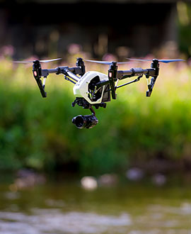
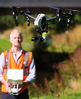
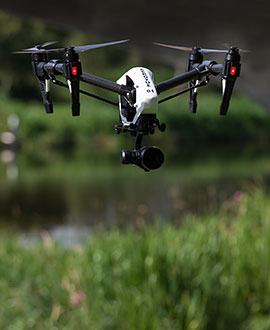
Our radio-controlled 'quadcopter' drone is equipped with a gyro-stabilised camera mount and a professional digital camera.
Aerial inspections using UAVs lower the risk factors associated with working at height and in live danger zones.
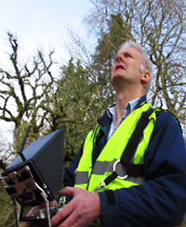
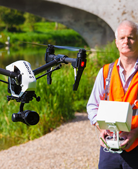
All our UAV flight plans are fully risk-assessed and conducted by BNUC-S qualified pilot/operators.
Using a drone camera for your aerial survey is a safe, cost-effective and environmentally friendly alternative to conventional methods.
With its on-board digital camera, our drone can obtain stunning high definition video or hi-res still images.
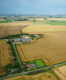
Bird's eye view of the acreage for a recent farm sale schedule.
Aerovue Ltd has Public Liability Insurance for all its operations.
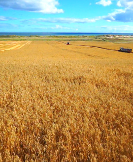
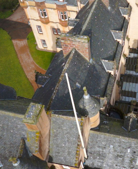
A quick and easy way to see what's happening on your land, from the air.
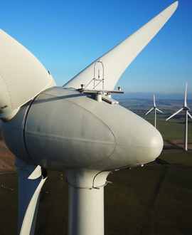
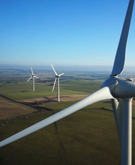
Get up-close to complex equipment, without the need for scaffolding, climbing equipment - or a head for heights!
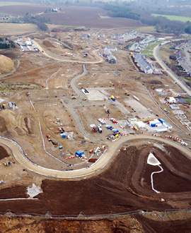
Get an overview of progress on your site with our drone camera.
AeroVue holds Civil Aviation Authority (CAA) Permission for Aerial Work.
For more information about our AeroVue service please call 01467 670707.
+44 1467 670707
Lethenty Mill,
Inverurie
Aberdeenshire
AB51 0HQ
Scotland, UK
Email us (via Cinécosse)